top of page
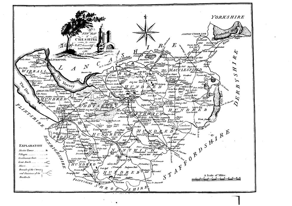
An early map of Cheshire produced in 1786

Map of Cheshire by William Tunnicliff 1786

1786

A map of the village centre with figures showing field acreages.

Map of centre of Holmes Chapel about 1900

1900

A small area of Probert's map centred on Holmes Chapel

Section of Probert's Map of 1767

1767

The Ordnance Survey map of 1873 - 5 centred on Holmes Chapel

Part of OS map of 1875 centred on Holmes Chapel

1875

A section of the 1976 Ordnance Survey map showing Holmes Chapel as built at the time.

Part of the OS map of 1976 showing Holmes Chapel

1976

A section of the Ordnance Survey map of 1936 centred on Holmes Chapel

Part of OS Map Showing Holmes Chapel in 1938

1936

A section of the map produced by Ogilby in 1675 of the route from Talke in the south to Garstang along the road from London to Carlisle. Holmes Chapel is identified in the second column.

Map of the Route from Talke to Garstang

1675

A map of land use adapted from a map of Cheshire by J Probert in 1767. It identifies enclosed and unenclosed land and its use - Heath, Pasture, Arable, Woodland, Buildings and unsurveyed land.

Map of Land Use Holmes Chapel and District in 1767

2000

This map was produced by the Cheshire Records Office and lists the families owning the land in descending order of acreage.

A map produced around 1850 showing the land ownership across Cheshire

1991

A copy of the tithe map produced in 1840 covering Church Hulme. Fields are numbered and can be linked to the tithe schedule which will identify ownership.

Tithe Map of Church Hulme

1840

A map showing the Turnpike roads in Cheshire with the dates of authorisation

Map of Cheshire Turnpikes

2000

A view from about 1950 looking east towards the church and Barclays Bank. It appears the original George and Dragon has just been demolished and re-built to improve the road junction.  The Mothers Union Hut can be seen in the foreground on Westmoreland Terrace and Parkway and Bessancourt has yet to be developed.

Aerial View of Village Centre

1950

View of the Elm Drive estate with Hermitage School in the centre. The wallpaper works run by Fads at the time are to the upper left of the image, with the River Dane in the foreground.

Aerial View of Elm Drive Estate

2020

Activities as part of the family fun day held at the Community Centre in July 2026

Family Fun Day at the Community Centre

2026

A bench at the skate park in memory of Jill Cope who was our PCSO prior to becoming seriously ill. Jill sadly died on 7th August 2017. The bench is located near the Skatepark at the Community Centre in recognition of the contribution she made in delivering this facility for local children.

Bench in memory of PCSO Jill Cope at the Skatepark

2026

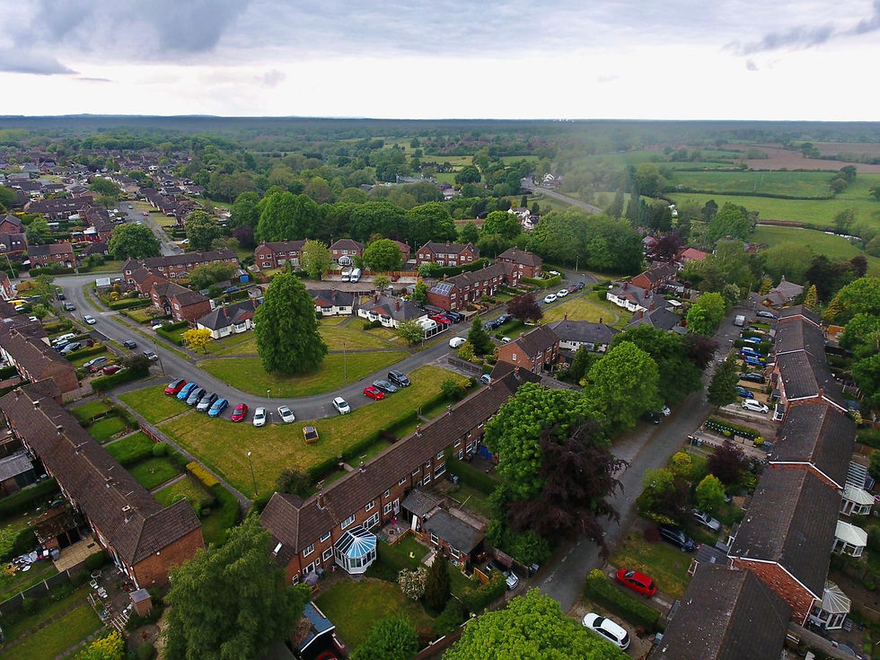
A view to the northwest of Holmes Chapel, showing the Northway development and Saddler's Close in the foreground.

Aerial View of Northway

2020

A view looking down on the George and Dragon, looking north with Knutsford Road to the right and the Methodist Church.

Aerial View of the George and Dragon

2020

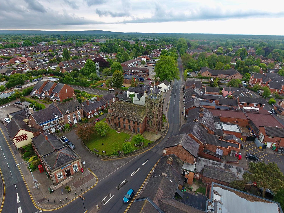
A view taken in May 2020 of the village centre, looking south, with St Luke's Church in the centre.

Aerial View of the Village Centre

2020

A plan of the Dane Meadow which was erected as part of the improvements to the site in 2013

The Display Board at the Dane Meadow

2020

A view of our Dane Meadow Country Park looking east, showing the path running along the edge of the River Dane. The waste water treatment plant can be seen on the Cranage side of the river.

Dane Meadow looking East

2020

Browse Holmes Chapel Photo Archive

Filter by Category
  • Page 1
Filter by Parish
bottom of page